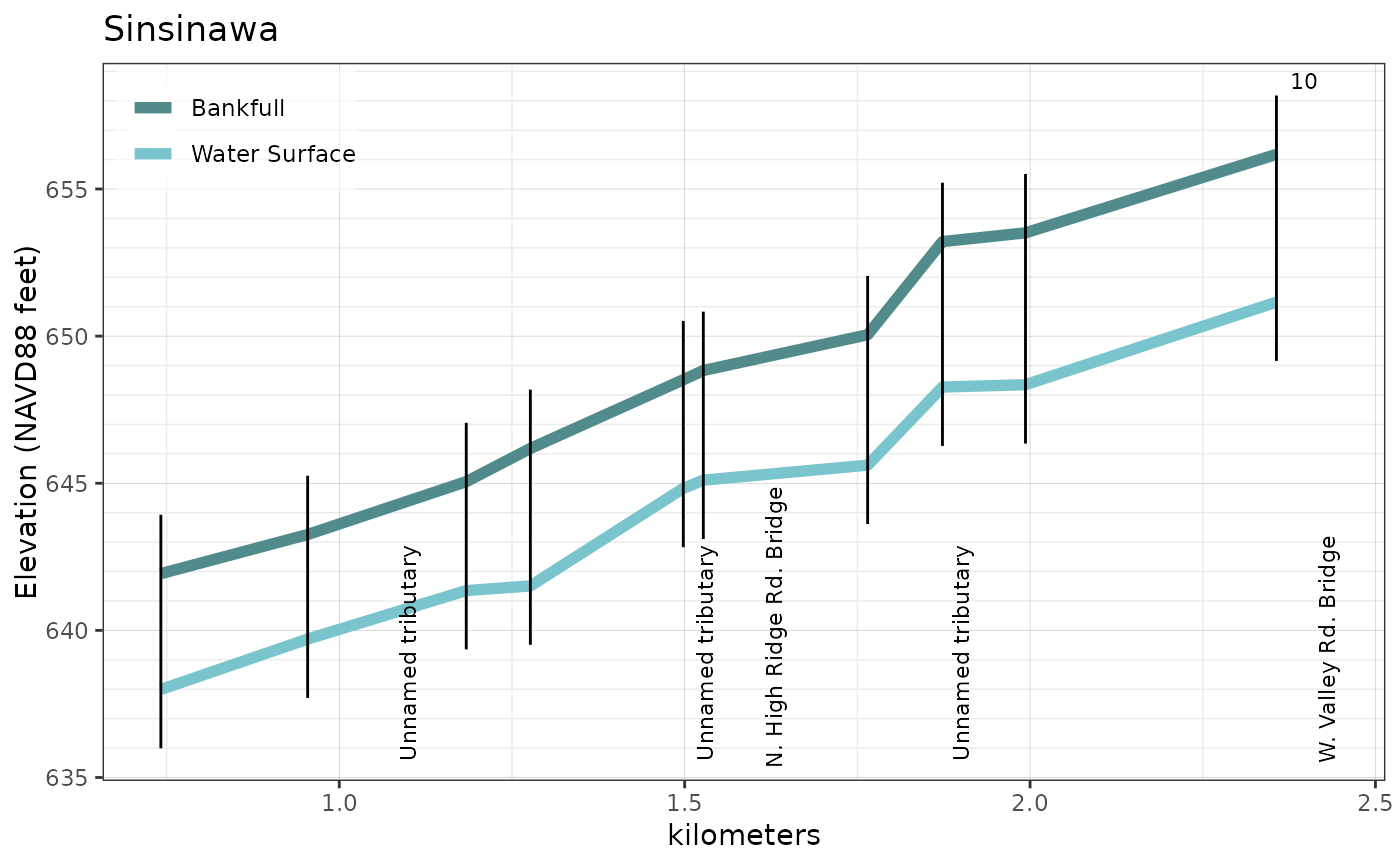
Produces a longitudinal profile plot for the cross sections of the input stream reach.
xs_profile_plot(
  reach_xs_dims_sf,
  features_sf = NULL,
  label_xs = TRUE,
  xs_label_freq = 10,
  profile_units = "kilometers"
)
Arguments
- reach_xs_dims_sf
sf data frame of cross section dimensions.
- features_sf
sf data frame of infrastructure features
- label_xs
logical; Draw the cross section labels?
- xs_label_freq
numeric; An integer indicating the frequency of cross section labels.
- profile_units
character; the units of the longitudinal profile. One of "kilometers", "meters", "miles", or "feet"
Value
A ggplot2 object.
See also
The profile_plot function requires a xs_dimensions
dataframe. See the sin_xs_dimensions package dataset for an
example of this format of cross section data produced by the
FluvialGeomorph ArcGIS toolbox.
Examples
# Create cross section profile plot
profile_plot <- xs_profile_plot(reach_xs_dims_sf = fluvgeo::sin_riffle_floodplain_dims_L3_sf,
                                features_sf = fluvgeo::sin_features_sf,
                                label_xs = TRUE)

# Print the plot
print(profile_plot)
